

May 16, 2016 - The Port of Long Beach (POLB) is the second busiest port in the United States, with more than $180 billion in trade moving through the port annually and covering 3,500 acres of land and 4,600 acres of water. Each day, the port handles thousands of shipping containers, petroleum products, and bulk cargo ships. To enhance port security operations, the POLB developed Virtual Port—a customized mapping and monitoring platform that integrates real-time data from multiple sources. It provides situational awareness of port operations and facilitates rapid incident response across multiple agencies and jurisdictions.
Description
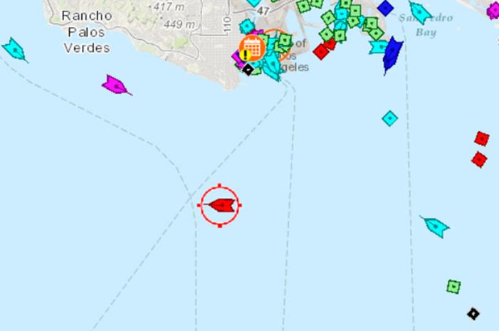
The POLB developed Virtual Port using $7 million in Port Security Grant Program funds. Completed in 2015, Virtual Port is a customized mapping and monitoring system that integrates 60 independent sources and databases— including live feeds from security sensors, cameras, and alarms; geospatial maps; pipeline and other infrastructure location data; weather conditions; and social media reports—into a one-stop, real-time operating picture of the complex. Prior to Virtual Port, port security personnel had difficulty monitoring vessel movement and gaining situational awareness of incidents across the entire complex. Virtual Port enables security personnel to identify and track vessels of interest prior to arrival and while in the port, and document their characteristics for port records. Virtual Port also has the ability to set up geofences—virtual barriers around vessels of interest and specific locations on land and/or water that trigger alerts when the vessel breaches the established boundaries. For example, in 2015 port security system operators used Virtual Port to create geofences around ships arriving from China’s Port of Tianjin, where a hazardous materials explosion had occurred. The geofences monitored the vessels’ movement into the Port where they underwent inspection to ensure the vessels were free of any residue from hazardous substances.
In addition to providing port security personnel with real time awareness of all port activities, law enforcement and first responders have used Virtual Port to coordinate and deploy response teams for incidents and in conducting post-incident investigations. The POLB shares access to Virtual Port with 17 regional stakeholders, including the United States Coast Guard (USCG), City of Los Angeles Police and Fire Departments, Los Angeles County Sheriff’s Department, Port of Los Angeles, and Federal Bureau of Investigation. In 2015, the POLB and USCG used Virtual Port to investigate the circumstances leading up to a small vessel collision with an oil tanker. The system showed the vessel’s movements in the port prior to the collision, which helped USCG determine the cause of the incident.
REFERENCES
POLB, “Virtual Port Boosts Emergency Preparedness,” Last accessed January 21, 2016,
http://www.polb.com/news/displaynews.asp?NewsID=1310&TargetID=23
POLB, Email correspondence with the FEMA National Preparedness Assessment Division, January 6, 2016.
DISCLAIMER
The Lessons Learned Information Sharing Program is a Department of Homeland Security/Federal Emergency Management Agency’s resource for lessons learned and innovative ideas for the emergency management and homeland security communities. The content of the documents is for informational purposes only, without warranty, endorsement, or guarantee of any kind, and does not represent the official positions of the Department of Homeland Security. For more information please email FEMA-LessonsLearned@fema.dhs.gov.