Region 6

States

Leadership

Resources

Contact Us

News

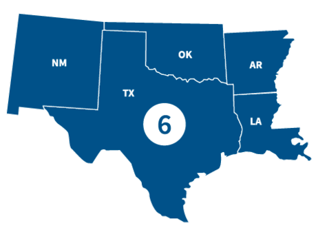
FEMA Region 6 office, located in Denton, TX, partners with federal emergency management for 68 Tribal Nations and the following states.

States

Visit the state's page for localized content, such as disaster recovery centers, flood maps, fact sheets, jobs and other resources.

Leadership

Graphic
A stock figure of a man

Acting Regional Administrator

Graphic
Graphic that represents placeholder that is female

Acting Deputy Regional Administrator

Region 6 Resources

Graphic
Risk Communications Guidebook - thumbnail. FEMA, region 6

Featured Resource

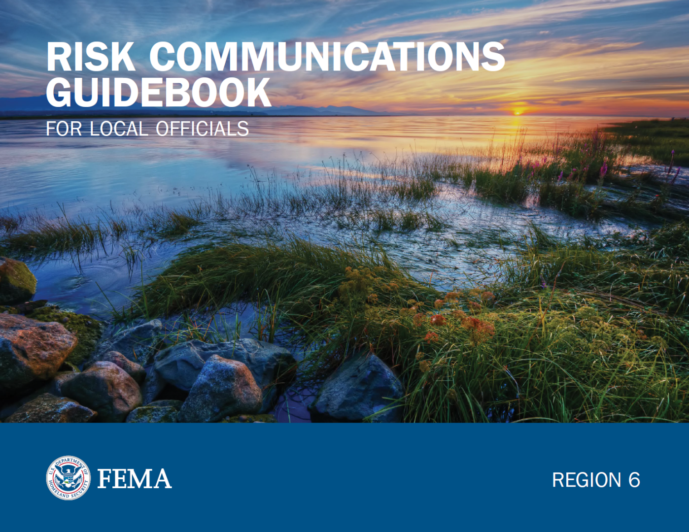
Risk Communications Guidebook for Local Officials

Find customizable templates and additional tools to support your Risk MAP outreach. Download the Resource Matrix for all Guidebook templates.

Get the Guidebook

PDF Link Icon

Use the search filters below to browse content tailored to help Region 6 prepare for, respond to and recover from disasters.

alert - warning

Sorry, there were no results based on your filter selections.
Please reset the filter or change your selections and try again.

Contact Us

General
940-898-5399

Grants
FEMA-R6-Grants-Inquiry@fema.dhs.gov

Exercise Officer
FEMA-R6-Exercise@fema.dhs.gov

News Desk
940-898-5454
FEMA-R6-NewsDesk@fema.dhs.gov

Technological Hazards
Oscar Martinez
FEMA-R6-REPP@fema.dhs.gov

Tribal Affairs
FEMA-R6-Tribal-Affairs@fema.dhs.gov

Regional News and Information

DENTON, Texas – The revised preliminary Flood Insurance Rate Maps (FIRMs) are available for review by residents and business owners in all communities and the unincorporated areas of Matagorda County, TX.  Officials encourage property owners to review the latest information to learn about lo

illustration of page of paper Press Release | Published:

AUSTIN, Texas — The Federal Emergency Management Agency (FEMA) has awarded more than $6.8 million to the Harris County Flood Control District for debris removal following Hurricane Harvey.


illustration of page of paper Press Release | Published:

 AUSTIN, Texas — As hurricane season approaches, many Texans continue to rebuild from Hurricane Harvey and other recent natural disasters, while others are retrofitting their homes to be better prepared for weather events in the future.


illustration of page of paper Press Release | Published:

DENTON, TX –– New flood maps become effective on September 13, 2019, for Mayes County, OK. Residents are encouraged to examine the maps to determine if they are in a low to moderate, or high-risk flood zone.

illustration of page of paper Press Release | Published:

DENTON, TX –– New flood maps become effective on September 13, 2019, for Ottawa County, OK. Residents are encouraged to examine the maps to determine if they are in a low to moderate, or high-risk flood zone.

illustration of page of paper Press Release | Published:
Last updated