Region 6

States

Leadership

Resources

Contact Us

News

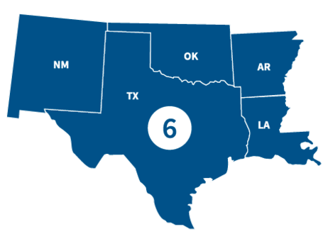
FEMA Region 6 office, located in Denton, TX, partners with federal emergency management for 68 Tribal Nations and the following states.

States

Visit the state's page for localized content, such as disaster recovery centers, flood maps, fact sheets, jobs and other resources.

Leadership

Graphic
A stock figure of a man

Acting Regional Administrator

Graphic
Graphic that represents placeholder that is female

Acting Deputy Regional Administrator

Region 6 Resources

Graphic
Risk Communications Guidebook - thumbnail. FEMA, region 6

Featured Resource

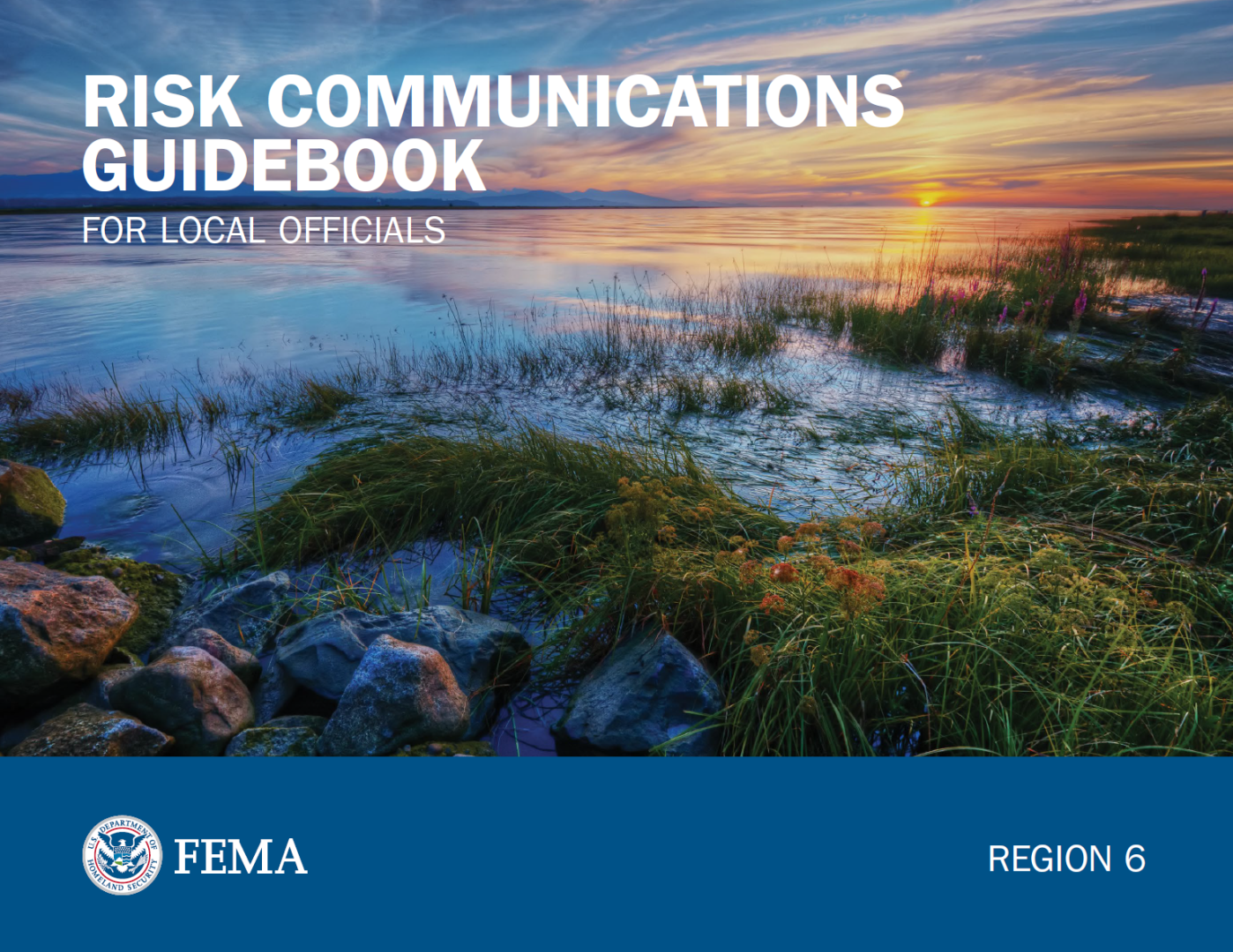
Risk Communications Guidebook for Local Officials

Find customizable templates and additional tools to support your Risk MAP outreach. Download the Resource Matrix for all Guidebook templates.

Get the Guidebook

PDF Link Icon

Use the search filters below to browse content tailored to help Region 6 prepare for, respond to and recover from disasters.

FACT SHEET: What Realty and Lending Professionals Need to Know

Customize this template to create a fact sheet on Risk MAP for local realty and lending professionals.

Find Your Flood Map

Risk Mapping, Assessment and Planning (Risk MAP) is a national FEMA program that works with states, tribes, territories and local communities to evaluate and better understand their current flood risk, as well as the actions that can be taken to mitigate and become more resilient against future risk.

Flood Risk "Open Houses"

Updating flood maps can be a multi-year effort and providing community review of the maps before they go effective is an important part of the process.

FEMA works with communities to provide information and resources online to view the preliminary flood insurance rate maps. It’s important for property owners to understand options if they need to consider flood insurance, or if they disagree with the maps.

Graphic
Illustration of a Flood map icon

Visit the Community Members' Guide to Initiating Map Revisions to see our online resources, as well as upcoming dates for in-person and online Flood Risk "Open Houses," which are opportunities to ask FEMA your flood risk questions.

Mapping Project Brochure

Customize this template for an informative brochure to give to residents and business owners. It tells them about the Risk MAP process and how it could affect their flood risk.

Mitigation Funding Resource Guides

The Mitigation Funding Resource Guides provide state, territory, and local officials with a wide array of potential mitigation funding resources. These resources include grants, loans, technical assistance, and in-kind services from federal, state, territory, and private sources.

Each resource includes information about the program, eligibility requirements, cost sharing, and an example of program use, if available. The Guides also align the resource with the National Mitigation Framework core capability and the National Disaster Recovery Framework support function.

Download Mitigation Funding Guides by State

Contact Us

General
940-898-5399

Grants
FEMA-R6-Grants-Inquiry@fema.dhs.gov

Exercise Officer
FEMA-R6-Exercise@fema.dhs.gov

News Desk
940-898-5454
FEMA-R6-NewsDesk@fema.dhs.gov

Technological Hazards
Oscar Martinez
FEMA-R6-REPP@fema.dhs.gov

Tribal Affairs
FEMA-R6-Tribal-Affairs@fema.dhs.gov

Regional News and Information

LITTLE ROCK– The state of Arkansas and FEMA will offer face-to-face help at four additional sites this week for residents affected by the March 14-15 severe storms and tornadoes. Homeowners and renters in Greene, Hot Spring, Independence, Izard, Jackson, Lawrence, Randolph, Sharp and Stone counties may be eligible for FEMA assistance for losses not covered by insurance.
illustration of page of paper Press Release | Published:
LITTLE ROCK– In coordination with the state of Arkansas, FEMA Individual Assistance teams will offer face-to-face help for residents of the nine Arkansas counties affected by the March 14-15 severe storms and tornadoes. Homeowners and renters in Greene, Hot Spring, Independence, Izard, Jackson, Lawrence, Randolph, Sharp and Stone counties may be eligible for FEMA assistance for losses not covered by insurance.
illustration of page of paper Press Release | Published:
LITTLE ROCK – Arkansas survivors should be aware that con artists and criminals may try to obtain money or steal personal information through fraud or identity theft after the severe storms and tornadoes that occurred March 14-15. In some cases, thieves try to apply for FEMA assistance using names, addresses and Social Security numbers they have stolen from survivors.
illustration of page of paper Press Release | Published:
LITTLE ROCK – FEMA is supporting state and local recovery efforts for Arkansas homeowners and renters in nine counties who sustained damage from the severe storms and tornadoes that occurred March 14-15. Financial assistance is available to eligible homeowners and renters in Greene, Hot Spring, Independence, Izard, Jackson, Lawrence, Randolph, Sharp and Stone counties. FEMA may be able to help with serious needs, displacement, temporary lodging, basic home repair costs, personal property loss or other disaster-caused needs.
illustration of page of paper Press Release | Published:
DENTON, Texas – Preliminary flood risk information and updated Flood Insurance Rate Maps (FIRMs) are available for review in Pushmataha County, Oklahoma. Residents and business owners are encouraged to review the latest information to learn about local flood risks and potential future flood insurance requirements. The updated maps were produced in coordination with Tribal, local, state and FEMA officials. Significant community review of the maps has already taken place, but before the maps become final, community residents can identify any concerns or questions about the information provided and participate in the 90-day appeal and comment periods.
illustration of page of paper Press Release | Published:
Last updated