Region 6

States

Leadership

Resources

Contact Us

News

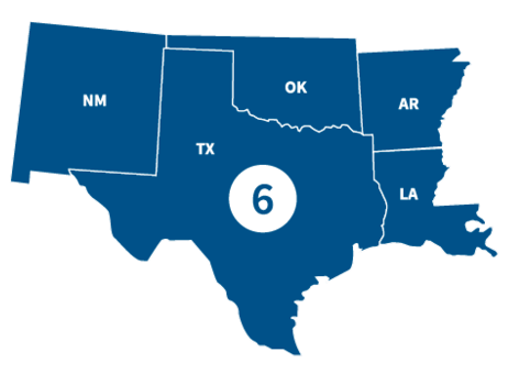
FEMA Region 6 office, located in Denton, TX, partners with federal emergency management for 68 Tribal Nations and the following states.

States

Visit the state's page for localized content, such as disaster recovery centers, flood maps, fact sheets, jobs and other resources.

Leadership

Tony Robinson

Region 6 Administrator

Traci Brasher

Region 6 Deputy Administrator

Region 6 Resources

Graphic
Risk Communications Guidebook - thumbnail. FEMA, region 6

Featured Resource

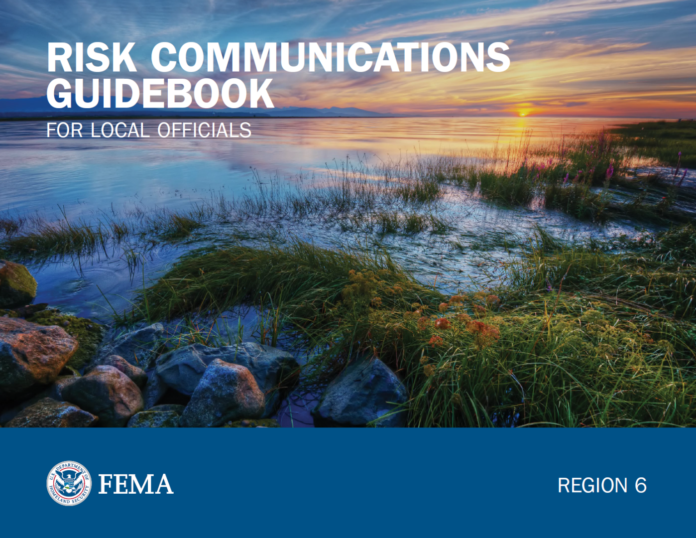
Risk Communications Guidebook for Local Officials

Find customizable templates and additional tools to support your Risk MAP outreach. Download the Resource Matrix for all Guidebook templates.

Get the Guidebook

PDF Link Icon

Use the search filters below to browse content tailored to help Region 6 prepare for, respond to and recover from disasters.

TEMPLATE: Stakeholder Newsletter Article – Maintenance

Customize this template to create a newsletter article. It will inform people about the Map Maintenance phase of Risk MAP.

TEMPLATE: Stakeholder Newsletter Article – Post-Preliminary

Customize this template to create a newsletter article. This will tell people about the Post-Preliminary phase of Risk MAP.

Using the Discovery Report to Help Reduce Risk – Discovery

Learn how to use the new Discovery Report to guide your mitigation and planning.

Contact Us

General
940-898-5399

Grants
FEMA-R6-Grants-Inquiry@fema.dhs.gov

Exercise Officer
FEMA-R6-Exercise@fema.dhs.gov

News Desk
940-898-5454
FEMA-R6-NewsDesk@fema.dhs.gov

Technological Hazards
Oscar Martinez
FEMA-R6-REPP@fema.dhs.gov

Tribal Affairs
FEMA-R6-Tribal-Affairs@fema.dhs.gov

Regional News and Information

Texans who sustained losses from Hurricane Beryl have one month remaining to apply for federal assistance. The deadline is October 10, 2024.
illustration of page of paper Press Release | Published:
As Tropical Storm Francine rapidly strengthens and moves toward Louisiana, FEMA is urging people across the state and the Gulf Coast to prepare now for potentially life-threatening impacts. Francine’s projected path poses a serious threat to Louisiana and upper Texas coastline, expecting to make landfall as a Category 2 hurricane on Wednesday.
illustration of page of paper Press Release | Published:
After you apply for federal disaster assistance, it is important that FEMA be able to contact you. FEMA may need to call some New Mexicans in Lincoln, Otero, Rio Arriba, and San Juan counties, and the Mescalero Apache Reservation to continue processing their application for assistance after South Fork and Salt Fires and flooding.
illustration of page of paper Press Release | Published:
FEMA is monitoring Tropical Storm Francine as it rapidly approaches southeast Texas and portions of Louisiana, bringing heavy rain, flooding and life-threatening storm surge. People in the storm’s potential path should closely monitor the weather, follow directions from local officials and evacuate immediately if told to do so.
illustration of page of paper Press Release | Published:
People impacted by the Hermit’s Peak/Calf Canyon Fire who are awaiting conservation restoration plans from the U.S. Department of Agriculture Natural Resources Conservation Service (NRCS) are encouraged to start a FEMA claim as soon as possible.
illustration of page of paper Press Release | Published:
Last updated