

States
Leadership
Resources
Contact Us
News
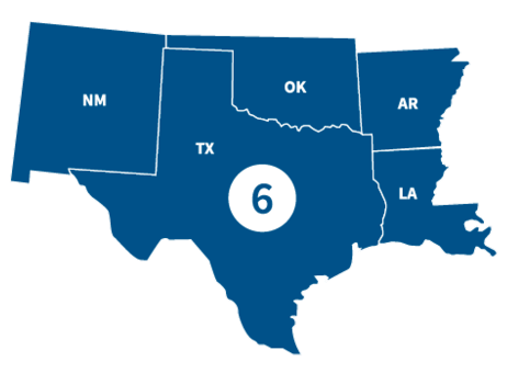
FEMA Region 6 office, located in Denton, TX, partners with federal emergency management for 68 Tribal Nations and the following states.
States
Visit the state's page for localized content, such as disaster recovery centers, flood maps, fact sheets, jobs and other resources.
Leadership

Acting Regional Administrator

Acting Deputy Regional Administrator
Region 6 Resources
Featured Resource
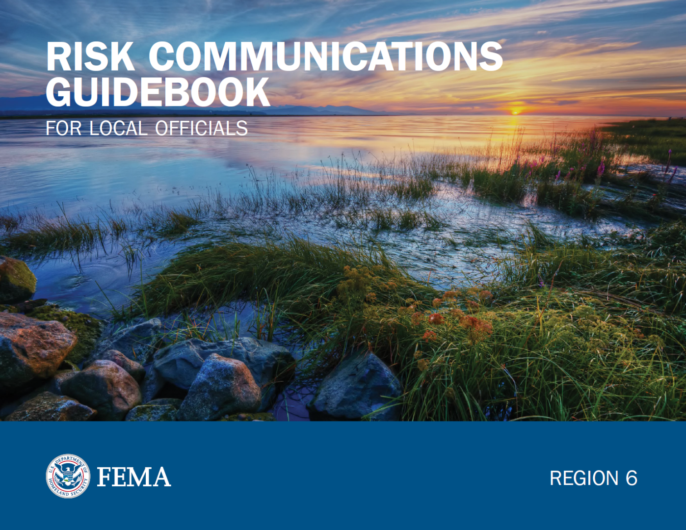
Risk Communications Guidebook for Local Officials
Find customizable templates and additional tools to support your Risk MAP outreach. Download the Resource Matrix for all Guidebook templates.
Get the Guidebook
Use the search filters below to browse content tailored to help Region 6 prepare for, respond to and recover from disasters.
Customize this slide deck template to use as a flood risk awareness presentation in the Regulatory phase.
Customize this template to contact property owners whose flood risk has changed. This applies to those whose home will be shown in the Special Flood Hazard Area (SFHA) for the first time.
Customize this template to notify property owners that their flood risk has changed. This applies to homes that will no longer be in an SFHA.
Customize this template for public talking points about the Map Maintenance phase of Risk MAP.
Customize this template to create public talking points for the Regulatory phase.
Contact Us
General
940-898-5399
Grants
FEMA-R6-Grants-Inquiry@fema.dhs.gov
Exercise Officer
FEMA-R6-Exercise@fema.dhs.gov
News Desk
940-898-5454
FEMA-R6-NewsDesk@fema.dhs.gov
Technological Hazards
Oscar Martinez
FEMA-R6-REPP@fema.dhs.gov
Tribal Affairs
FEMA-R6-Tribal-Affairs@fema.dhs.gov