FEMA Media Library

Hospitals
KPF Hospitals

An icon of a stopwatch is in a blue circle
KPF Icon: Stopwatch

Figure 18: Map of 5-mile evacuation zone
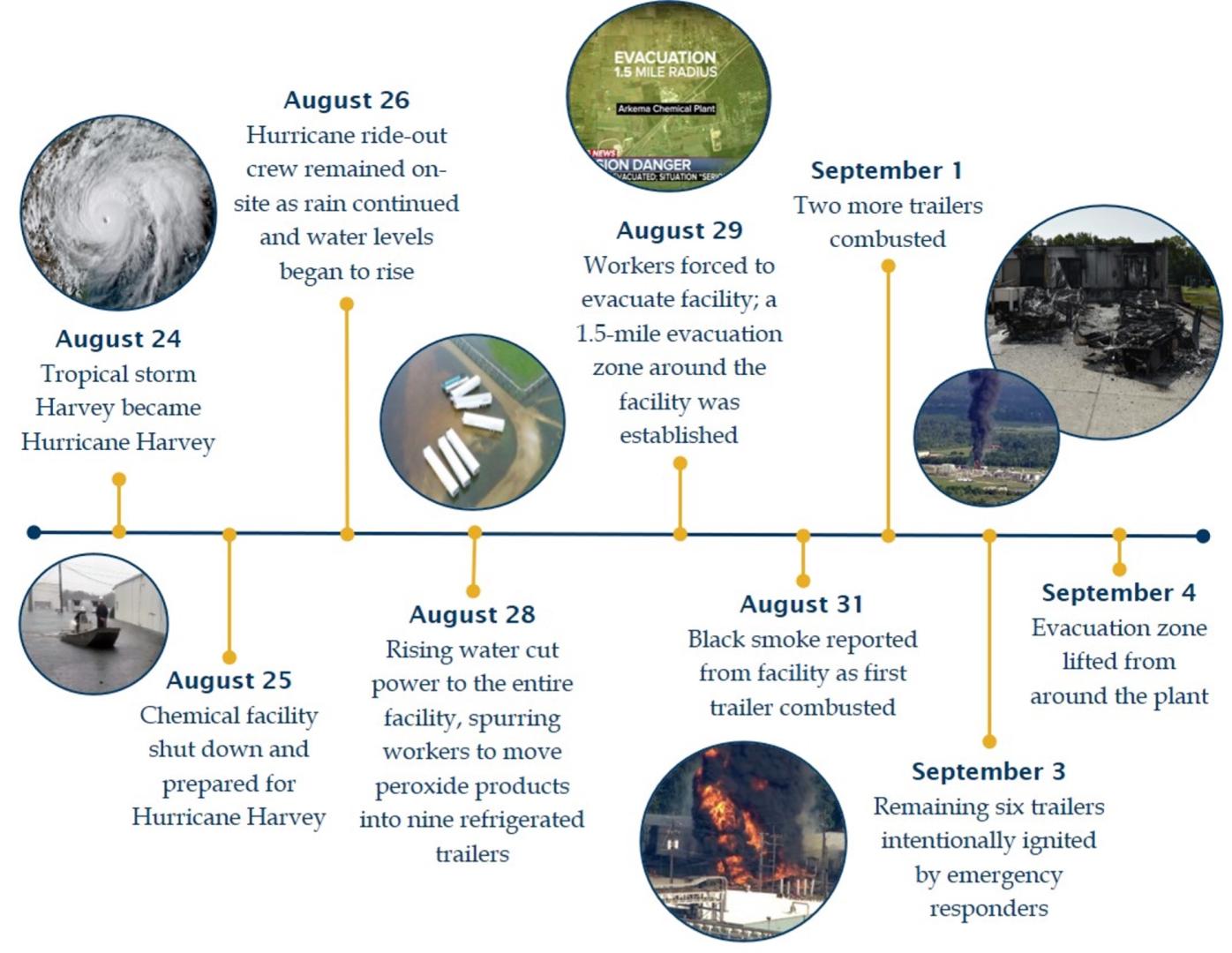
KPF Chemical - Figure 18

Figure 5: Timeline of incident due to chemical plant flooding and subsequent fires
KPF Chemical - Figure 5

FEMA Preparedness Grants Manual Cover Thumbnail

A timeline of the Main Street Wastewater Treatment Plant’s story.
Emerald Coast Utilities Authority Wastewater Treatment Plant: Repair or Relocate?

A picture of a beach with a parachute in the background.
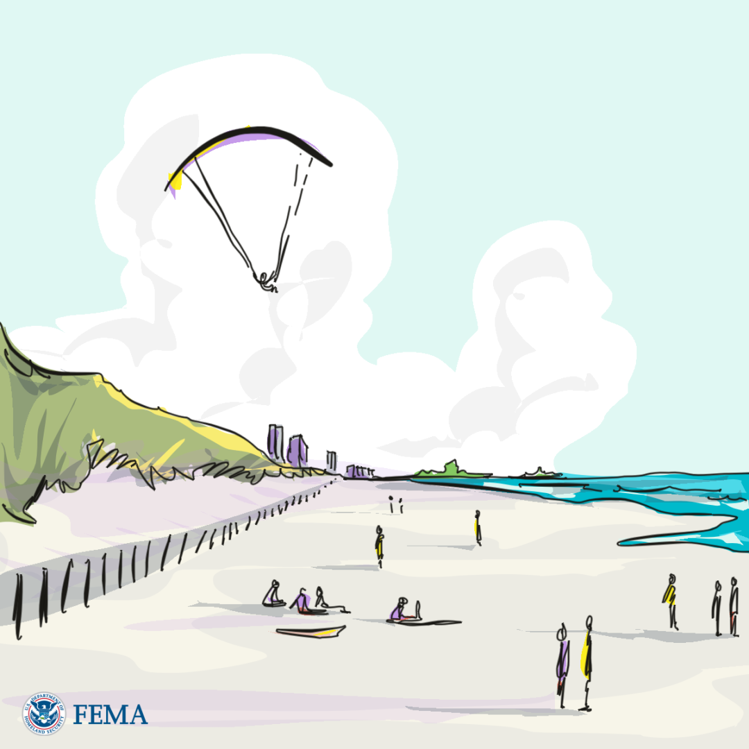
Nature-Based Solutions - dunes

Managed dune on Long Beach Island, NJ. Dune restoration is an example of nature-based solutions that can be funded by many federal funding sources.

FEMA Administrator Deanne Criswell standing in front of a blue circle
Strategic Plan F1 Picture

Family anchors household items can prevent them from hurting someone during an earthquake.
Earthquake Preparedness

The Integrated Public Alert and Warning System (IPAWS) - Open Platform for Emergency Networks (OPEN) architecture diagram. Using a Common Alerting Protocol (CAP) compliant software tool, alerting authorities create a message and send to IPAWS - OPEN. IPAWS - OPEN then routes the message to private industry infrastructure for dissemination as a Wireless Emergency Alert (WEA), through the Emergency Alert System (EAS), through NOAA Weather Radio, through Internet Based Services, and Unique Alerting Systems.
Integrated Public Alert and Warning System