
As part of the National Flood Insurance Program, the High Water Mark (HWM) Initiative is a community-based awareness program that increases local communities’ awareness of flood risk and encourages action to mitigate that risk.
As part of the program, communities:
- Host a high-profile HWM sign unveiling and/or launch event
- Develop continuous flood risk awareness and outreach activities around the signs, and
- Complete specific mitigation actions that the community will take to reduce flood risk for residents.
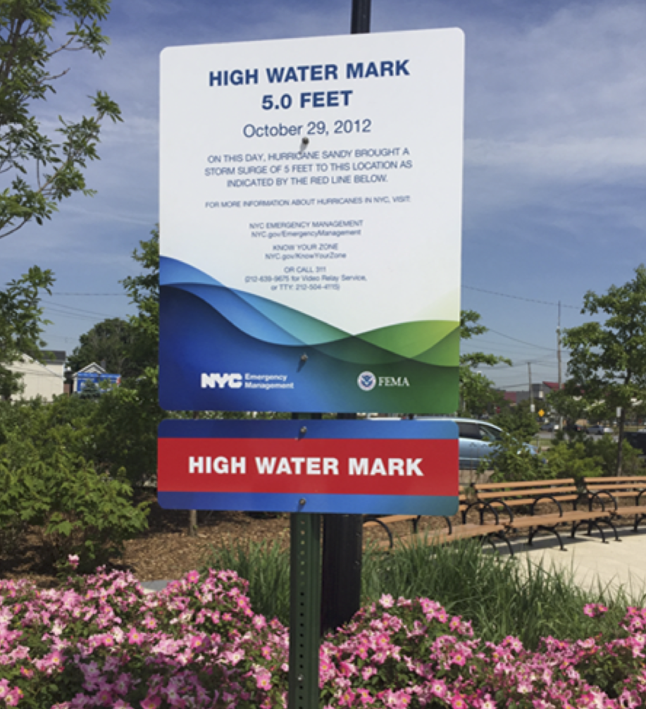

For more information about how to conduct High Water Mark initiatives, see the High Water Mark Toolkit (español) or contact the High Water Mark Team.
About The High Water Mark Initiative
Flooding is the number one natural disaster in the United States. Large hurricanes and tropical storms as well as inland, riverine flooding have ravaged American communities costing billions a year in recovery, restoration, and rebuilding. NOAA estimates during 2017-2020, more than $24 billion dollars in flood damages occurred. In these same years, FEMA grant programs have provided $460 million for flood mitigation grants to states, tribes, territories and local communities for flood events.
In addition, a 2013 Flood Risk Awareness Survey conducted by FEMA shows less than one-third (30%) of respondents believed their communities were at risk of flooding. In fact at the time, 9 out of 10 of the respondents did not believe flooding was the primary hazard their communities faced.
In an effort to increase awareness and address this challenge, FEMA partnered with federal agencies to create the High Water Mark Initiative to help improve the public’s awareness of flood risk and encourage communities to take long- term action to address this risk. In 2018, FEMA released a toolkit to help communities implement a High Water Mark event.

Pilot Programs
FEMA launched a pilot project in 2012–2013 and five communities participated in High Water Mark events. In total, there are 37 communities that participated in the expanded FEMA-led initiative.
Read Case Studies from the Projects
Contact Us
For additional information or assistance, contact a Map Specialist in the FEMA Mapping and Insurance eXchange (FMIX).
Sign up for emails to receive flood hazard mapping updates.