

FEMA provides flood hazard and risk data products to help communicate flood risk and inform mitigation actions.
Top Tools
FEMA Map Service Center
The FEMA Flood Map Service Center (MSC) is the official source for National Flood Insurance Program flood hazard information. Use the MSC to find:
- Your official flood map
- FIRM panels
- FIS reports
- Letter of Map Changes (LOMC)
- National Flood Hazard Layer data
View All MSC Tools
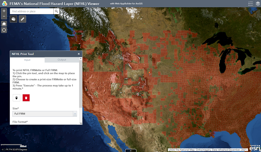
National Flood Hazard Layer
The National Flood Hazard Layer is a geospatial database showing effective flood maps.
All Flood Products and Tools
National Risk Index
The Risk Index is an online mapping application that visualizes natural hazard risk metrics based on 18 natural hazards, expected annual losses from natural hazards, social vulnerability and community resilience.
With this tool, you can discover a holistic view of community risk to natural hazards.
Risk Mapping, Assessment and Planning (Risk MAP)
The Risk MAP program provides user-friendly products to analyze flood risk and support planning and development practices.
Preliminary Flood Hazard Data
Preliminary flood hazard data provide the public an early look at their home or community‘s projected risk to flood hazards.
Preliminary data may include: new or revised Flood Insurance Rate Maps (FIRM), Flood Insurance Study (FIS) reports, and FIRM Databases.
Geospatial Resource Center
The FEMA Geospatial Resource Center lets you find disaster response data, maps and applications from FEMA and our governmental, private sector and other partners in one place.
Multi-hazard Tools
- Hazus uses GIS technology to estimate physical, economic and social impacts of earthquakes, floods and hurricanes.
- The Resilience Analysis and Planning Tool (RAPT) includes over 100 preloaded layers, including community resilience indicators, census demographic data, weather risk data, and more.
Support for Using NFIP Data and Tools
Software for Flood Mapping
- HEC-RAS
- cHECk-RAS
- RASPLOT
- Quick-2
- National Streamflow Statistics
- And more
View All Software
Tutorials
FEMA developed tutorials on available National Flood Insurance Program tools, including:
- How to read a Flood Insurance Rate Map (FIRM) and Flood Insurance Study (FIS) Report
- How to use FEMA flood hazard mapping software applications
View All Tutorials

Accepted Numerical Models
View the list of nationally and locally accepted models that meet National Flood Insurance Program requirements for flood hazard mapping activities.

High Water Mark Initiative
The High Water Mark Initiative increases local communities’ awareness of flood risk and encourages action to mitigate that risk.