

This page has not been translated into 简体中文. Visit the 简体中文 page for resources in that language.
Appeal Period Starts for City of Holyoke/Phillips County New Flood Mapping
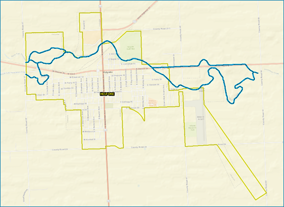
New flood maps have been developed for the City of Holyoke and immediately surrounding unincorporated areas of Phillips County. If residents or businesses feel there is an error in the map, they have a 90-day period to provide scientific or engineering data. Any comments on incorrect labels or other minor errors will be received during this time as well.
日期: 三月 29, 2023 - 六月 26, 2023
时间: 7:00 pm - 7:00 pm
位置: 重要日期
活动详情
The City of Holyoke and parts of unincorporated Phillips County flood insurance rate map updates are nearing completion. The new maps will provide the City and Phillips County with more accurate flood risk information that can help local officials and residents make informed decisions about reducing flood risks and purchasing flood insurance.
The mapping project is a joint effort between Phillips County Communities and the Colorado Water Conservation Board (CWCB). It is part of a nationwide effort led by the Federal Emergency Management Agency (FEMA) to increase local knowledge of flood risks and support actions to address and reduce those risks.
Before new flood insurance rate maps become effective, there is a 90-day appeal period during which local residents and business owners can provide additional data for consideration before the maps are final. This appeal period starts on March 29, 2023.
Community officials and CWCB encourage residents and business owners to review the proposed flood insurance rate maps to learn about local flood risks, potential future flood insurance requirements, and raise any concerns or questions about the information provided.
You may submit an appeal package during the 90-day appeal period. The sole basis of the appeal must include the possession of data or information indicating that the flood hazard determinations proposed by FEMA are scientifically and/or technically incorrect.
For further details on this process, visit https://www.floodmaps.fema.gov/fhm/BFE_Status/bfe_main.asp. To view preliminary mapping, visit the Colorado Hazard Mapping Website (https://coloradohazardmapping.com), or contact your local floodplain administrator. Preliminary mapping may also be viewed on FEMA’s Map Service Center (https://hazards.fema.gov/femaportal/prelimdownload/).
活动联系人
Terri Fead, CWCB Floodplain Mapping Program Coordinator, terri.fead@state.co.us or (303) 866-3441 x3230
Christine Gaynes, FEMA Region 8 Mapping Lead, christine.gaynes@fema.dhs.gov or (202) 480-1265