
FEMA hosts virtual and in-person events to provide training, assist disaster survivors, share hiring opportunities, and promote other activities related to helping people before, during and after disasters.
Events
2024-01-22T21:30:00
2024-12-23T23:00:00
Virtual
Jan 22, 2024
Dec 23, 2024
Dec 23, 2024
Jan 22, 2024 EST
- Dec 23, 2024 11:00 p.m. EST
Virtual
Monthly Zoom presentation provided by FEMA Webinars will be every Fourth Monday of each month.
2024-01-24T12:00:00
2024-04-23T12:00:00
Important Date
Jan 24, 2024
Apr 23, 2024
Apr 23, 2024
Jan 24, 2024
- Apr 23, 2024
Important Date
New flood maps have been developed for LaMoure County, City of Dickey, City of Edgeley, City of LaMoure, City of Marion, Township of Grand Rapids, City of Berlin, City of Jud, City of Kulm, and the City of Verona. If residents or businesses feel there is an error in the map, they have a 90-day period to provide scientific or engineering data.
2024-01-24T12:00:00
2024-04-23T12:00:00
Important Date
Jan 24, 2024
Apr 23, 2024
Apr 23, 2024
Jan 24, 2024
- Apr 23, 2024
Important Date
New flood maps have been developed for Stutsman County, City of Jamestown, and the City of Montpelier. If residents or businesses feel there is an error in the map, they have a 90-day period to provide scientific or engineering data.
2024-01-25T12:00:00
2024-04-24T12:00:00
Important Date
Jan 25, 2024
Apr 24, 2024
Apr 24, 2024
Jan 25, 2024
- Apr 24, 2024
Important Date
New flood maps have been developed for Dickey County, City of Ludden, City of Oakes, City of Ellendale, City of Forbes, City of Fullerton, and the City of Monango. If residents or businesses feel there is an error in the map, they have a 90-day period to provide scientific or engineering data.
2024-02-26T14:00:00
2024-04-25T19:00:00
Virtual
Feb 26, 2024
Apr 25, 2024
Apr 25, 2024
Feb 26, 2024 EST
- Apr 25, 2024 7:00 p.m. EST
Virtual
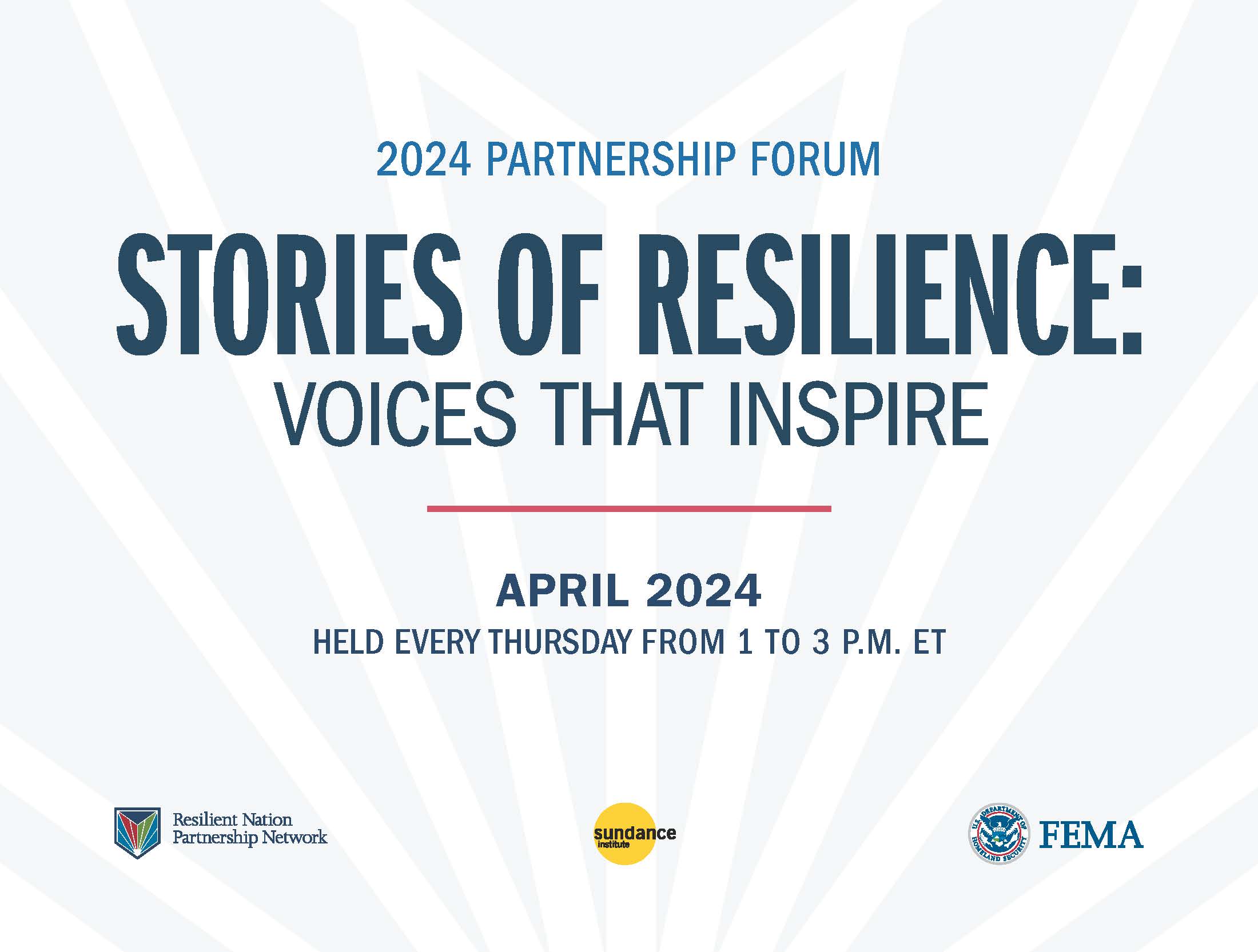
Join us online every Thursday from 1-3 p.m. Eastern Time in April for the Resilient Nation Partnership Network (RNPN) 2024 Partnership Forum co-hosted with the Sundance Institute.
This year’s theme is “Stories of Resilience: Voices that Inspire.”
2024-02-28T12:00:00
2024-05-28T12:00:00
Important Date
Feb 28, 2024
May 28, 2024
May 28, 2024
Feb 28, 2024
- May 28, 2024
Important Date
Cass County’s flood insurance rate map update is nearing completion. The new maps will provide Cass County with more accurate flood risk information that can help local officials and residents make informed decisions about reducing flood risks and purchasing flood insurance.
2024-03-11T12:00:00
2024-06-11T12:00:00
Important Date
Mar 11, 2024
Jun 11, 2024
Jun 11, 2024
Mar 11, 2024
- Jun 11, 2024
Important Date
Davison County’s flood insurance rate map update is nearing completion. The new maps will provide Davison County with more accurate flood risk information that can help local officials and residents make informed decisions about reducing flood risks and purchasing flood insurance.
2024-03-14T12:00:00
2024-06-14T12:00:00
Important Date
Mar 14, 2024
Jun 14, 2024
Jun 14, 2024
Mar 14, 2024
- Jun 14, 2024
Important Date
New flood maps have been developed for the City of Creede and unincorporated areas of Mineral County. If residents or businesses feel there is an error in the map, they have a 90-day period to provide scientific or engineering data. Any comments on incorrect labels or other minor errors will be received during this time as well.
2024-03-26T13:00:00
2024-04-26T21:00:00
Important Date
Mar 26, 2024
Apr 26, 2024
Apr 26, 2024
Mar 26, 2024
- Apr 26, 2024
Important Date
FEMA is seeking public comments on its updated Consensus-Based Codes, Specifications, and Standards (CBCSS) Policy through April 26 2024.
2024-03-28T11:23:26
2024-04-29T11:59:59
Mar 28, 2024
Apr 29, 2024
Apr 29, 2024
Mar 28, 2024 EST
- Apr 29, 2024 11:59 a.m. EST
With the intent to prepare an Environmental Assessment, FEMA has posted a scoping document to gather early comment from various agencies, organizations, and individuals regarding the North Chicago Storm Sewer Project in North Chicago, Lake County, Illinois.
Past Events
2024-04-09T17:00:00
2024-04-09T18:00:00
Virtual
Apr 9, 2024
Apr 9, 2024
Apr 9, 2024
Apr 9, 2024 EST
- Apr 9, 2024 6:00 p.m. EST
Virtual
Focuses on contracting actions recipients and subrecipients can take to prepare before a disaster strikes and addressing the procurement rules applicable during these times.
2024-04-05T15:00:00
2024-04-05T16:30:00
Virtual
Apr 5, 2024
Apr 5, 2024
Apr 5, 2024
Apr 5, 2024 EST
- Apr 5, 2024 4:30 p.m. EST
Virtual
This FY 2023 Fire Prevention and Safety (FP&S) webinar includes an overview of the FP&S Activity, updates to the program, applicant eligibility, information about the application and review process, allowability of costs, as well as a walk-through of the application in FEMA GO. This workshop will also provide an opportunity for applicants to ask questions about how to apply.
2024-04-04T18:00:00
2024-04-04T19:00:00
Virtual
Apr 4, 2024
Apr 4, 2024
Apr 4, 2024
Apr 4, 2024 EST
- Apr 4, 2024 7:00 p.m. EST
Virtual
Virtual presentation offered by FEMA's Continuous Improvement Technical Assistance Program (CITAP) to provide an overview of how to successfully plan your data collection and analysis for a real-world incident after-action review. Please note, this webinar will be presented in Spanish.
2024-04-03T18:00:00
2024-04-03T19:30:00
Virtual
Apr 3, 2024
Apr 3, 2024
Apr 3, 2024
Apr 3, 2024 EST
- Apr 3, 2024 7:30 p.m. EST
Virtual
This FY23 SAFER Recruitment and Retention (R&R) Activity webinar includes a program overview, understanding the application process and tips for preparing to apply. These workshops also provide an opportunity for applicants to ask questions and network with FEMA Preparedness Officers as well as other SAFER R&R applicants and recipients.
2024-04-02T18:00:00
2024-04-03T19:00:00
Virtual
Apr 2, 2024
Apr 3, 2024
Apr 3, 2024
Apr 2, 2024 EST
- Apr 3, 2024 7:00 p.m. EST
Virtual
FEMA is rolling out its new Equity Guide and will host two webinars to share how this guidance can serve as a tool and resource to assist Tribal Nations during post-disaster recovery work.
Last updated